Prepared by Dr Jarrad Kowlessar, Flinders University.
We have harnessed the power of gaming technologies to help us better understand the context in which rock art was created. What did those ancient artists see as they gazed out from the caves and cliff faces where they left their mark?
Using digital technologies to translate geophysical data into interactive visualisations enables us to “see” what they saw. It also allows us to share our findings and communicate with the Traditional Owners in a whole new way. Archaeological data from rock art sites and landscapes is already collected using highly detailed 3D models. With game engines, virtual reality and virtual production facilities, we can repopulate these models with plants and vegetation and other landscape elements, informed by our scientific models of the past, to represent landscapes no longer present in the landscape.
Example: Red Lilly Lagoon Rock art region
The Greater Red Lilly Lagoon Area is a rock art province in Western Arnhem Land located just east of East Alligator River where the floodplains reach the sandstone escarpments of the Arnhem Plateau.
Environment Change
Western Arnhem Land is home to extensive rock art inscription, practised over 60 thousand years of inhabitation.
Rock art sites have been directly dated to a minimum age of 9,400 cal. BP, but the first inscription practices likely started much earlier. During this time, extensive environmental changes impacted the landscape in which people lived. During the Last Glacial Maximum (26,000 to 20,000 years ago), the coast was approximately 300km away from this region of Western Arnhem Land before major sea level rise brought the coast all the way to the local sites. Over the last eight thousand years, the coastline has been moving back to its present-day location, 50 kilometres away. These series of extreme changes have recently been mapped across the landscapes of the Red Lilly Lagoon rock art province using geophysical techniques.
Recording Rock art sites and the contemporary landscape
We used photogrammetry techniques to record rock art sites and create high quality 3D models. We then used extensive drone-based photogrammetry to reconstruct a detailed elevation model of the landscape, including the floodplains and the sandstone escarpment.
Representing Land Systems
We evaluated the landscape to determine the key ‘land systems’ present, including ecological habitat and geological context. For example, the Paperbark Swamp land system is a community of plant species dominated by melaleuca paperbark trees that grow on sandy soils with good water retention due to shallow underlying sandstone.
This land system occurs in the landscape over areas of shallow buried escarpment. We mapped each land system’s coverage across the study area.
Unreal Engine
We then used an interactive game engine to bring together the models of the rock art sites, landscape elevation and land systems. Unreal Engine is ideal for this, due to its high-quality photo realistic graphics, which allow us to “walk through” and explore our models interactively.
Starting with the landscape, which provides the terrain across the study area, we then layered on each identified land system with models of key plants, rocks, debris and the underlaying geology. We modelled plant communities to grow in their correct places, taking into consideration such factors as overcrowding and shade. Finally, we added the rock art models to their correct locations in the landscape. (See figure 1 for examples.)

Figure 1 Examples of the land system types in Unreal Engine with landscape surface textures, grass layers and procedural foliage. The land cover classes shown are A) Acacia Shrubland (on sandstone escarpment), B) Mangrove, C) Backswamps and Lagoons, D) Monsoon Vine Thicket, E) Colluvial aprons, F) Open Eucalypt Woodland, G) Freshwater Floodplain, H) Open Paperbark Woodland/Swamp.
Paleo Environmental Reconstruction
Once we validated the first model as an accurate reflection of the contemporary environment, land systems and overall modern landscape, we generated two more models. Using geophysical data, terrain models and land system mapping, we recreated the environments of the late Pleistocene and the ‘Big Swamp’ phase at the end of the last ice age when the sea level was at its highest. (See figure 2 for examples.)

Figure 2 Three views from different time periods, high on the sandstone escarpment looking west. A) The Freshwater phase of the Late Holocene ~200 years ago, B) The Big Swamp phase of the mid Holocene ~4,000 years ago, C) the Late Pleistocene, before the marine transgression ~9,000 years ago.
Exploring virtual landscapes in VR
Virtual Reality (VR) allows viewers to immerse themselves in and engage with the reconstructed landscapes. With the aid of VR, a user can stand in the rock shelter and see the art in the context of the landscape that the artist lived in at the time of the original inscription. These environments were significantly different to the modern day, before up to 15 meters of ground level change and major alterations to the plant habitats and land systems. VR allows the complex geophysical models of the past to be communicated in an intuitive way, overcoming barriers of language, scientific jargon and abstract diagrams that have made it difficult to truly share archaeological models of the past. VR can be taken to the contemporary landscape to experience ancient landscapes in their exact location.
Immersive visualisation in ‘The Void’
VR is a game changer as a tool for sharing knowledge, but it can be an isolating way to experience virtual models.
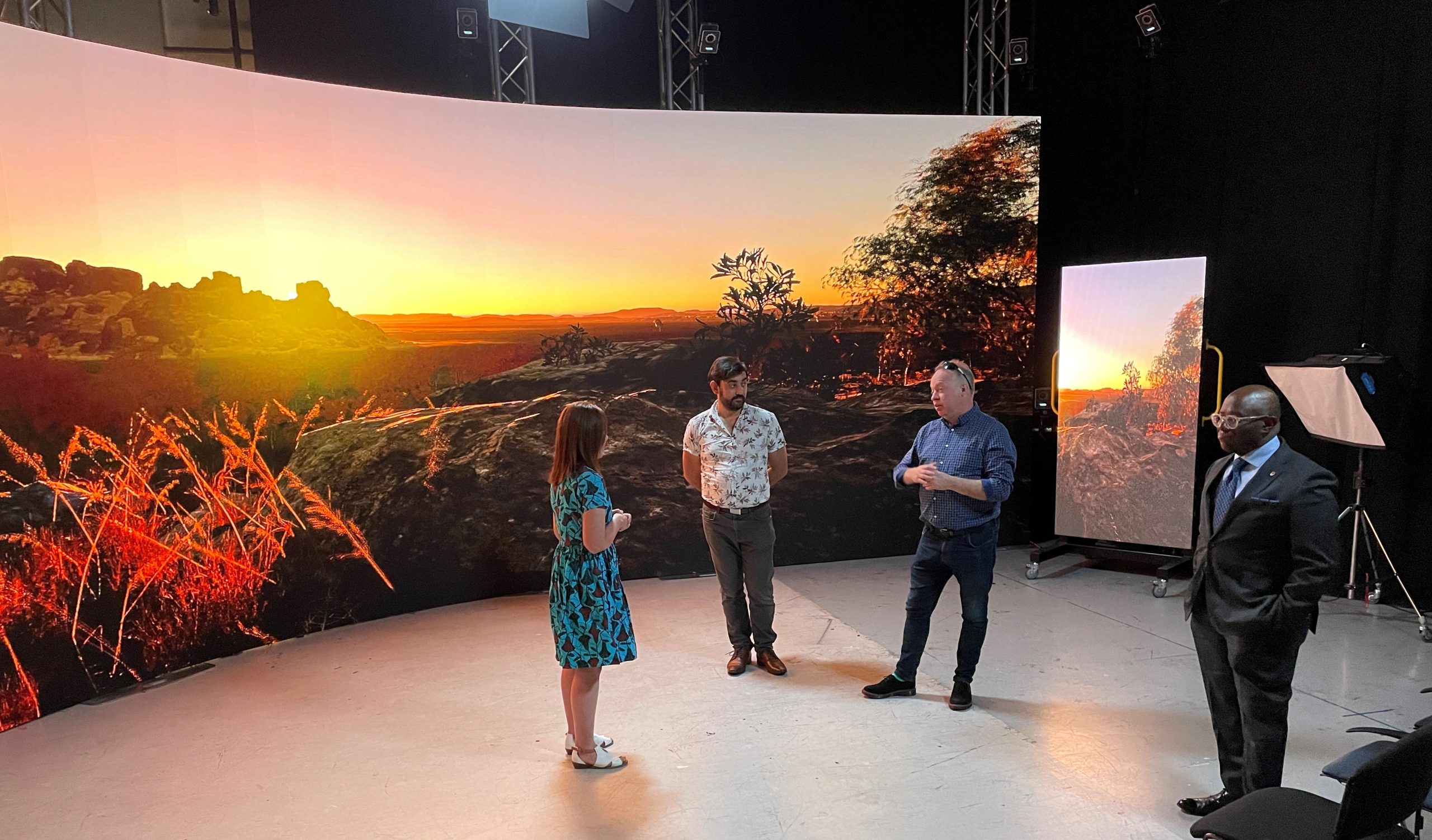
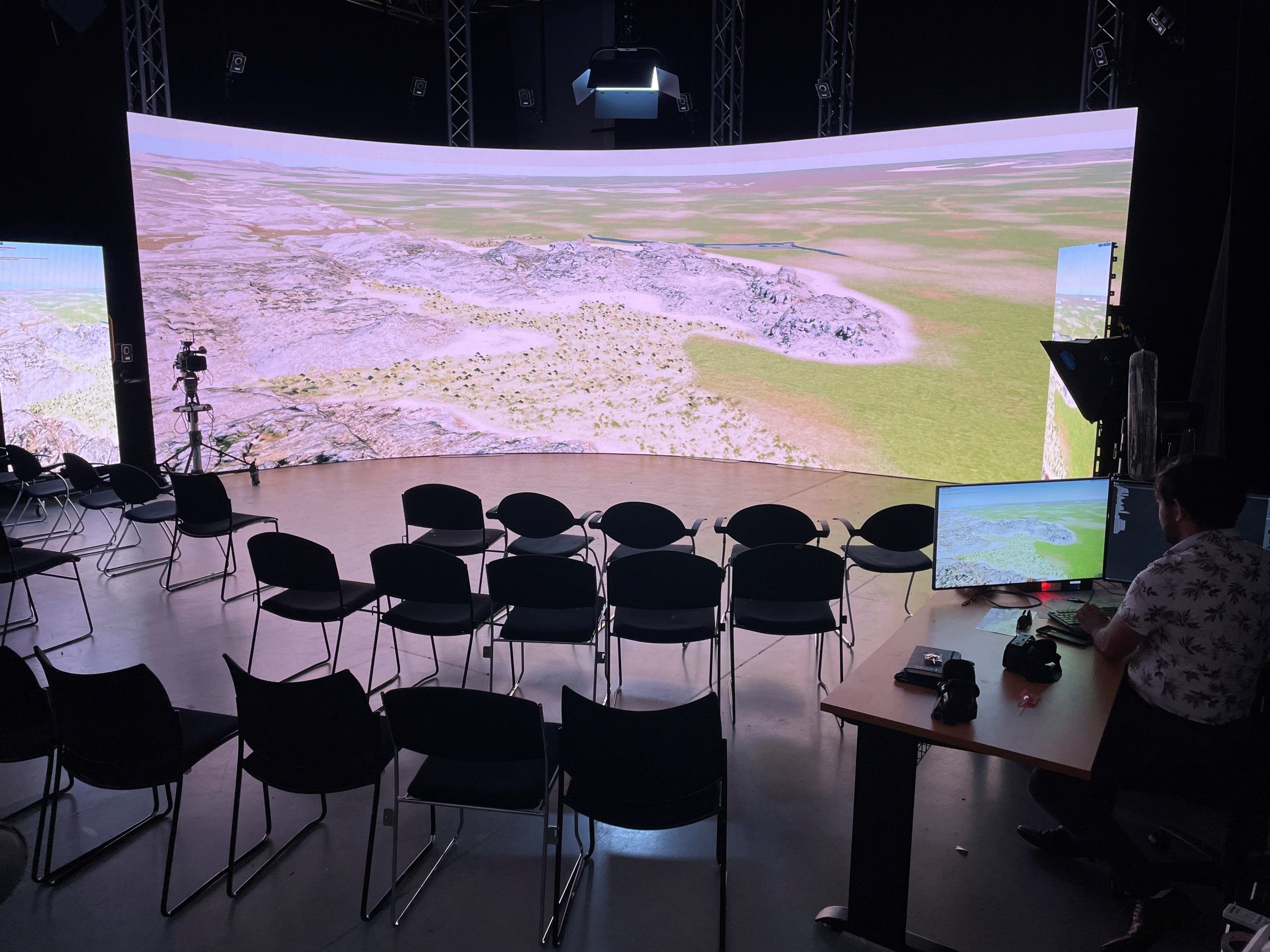
Thus, we turned to a virtual production facility to extend these models into an immersive collaborative setting. The Void at Flinders University is a multipurpose production stage with cutting-edge technology that transports interactive digital models onto a 8 X 3 meter LED wall. The high clarity screen surrounds viewers with very largescale visualisations, enabling them to experience landscapes at scale, without needing headsets.
