In 2018, representatives from the GunaiKurnai clans of East Gippsland in Victoria sent a delegation to Monash University with an invitation to commence long-term partnership research at several limestone caves on the western bank of the Snowy River.
In Jan-Feb 2023, GunaiKurnai Elder Uncle Russell Mullett (GunaiKurnai Land and Waters Aboriginal Corporation, GKLaWAC) and Professor Bruno David and Dr Jeremy Ash (Monash University) led an international team of researchers to New Guinea II Cave in a remote part of the Snowy River environment. The project is funded by Rock Art Australia in collaboration with the Traditional Owner Land Management Board, and the Australian Research Council Centre of Excellence for Australian Biodiversity and Heritage (CABAH).
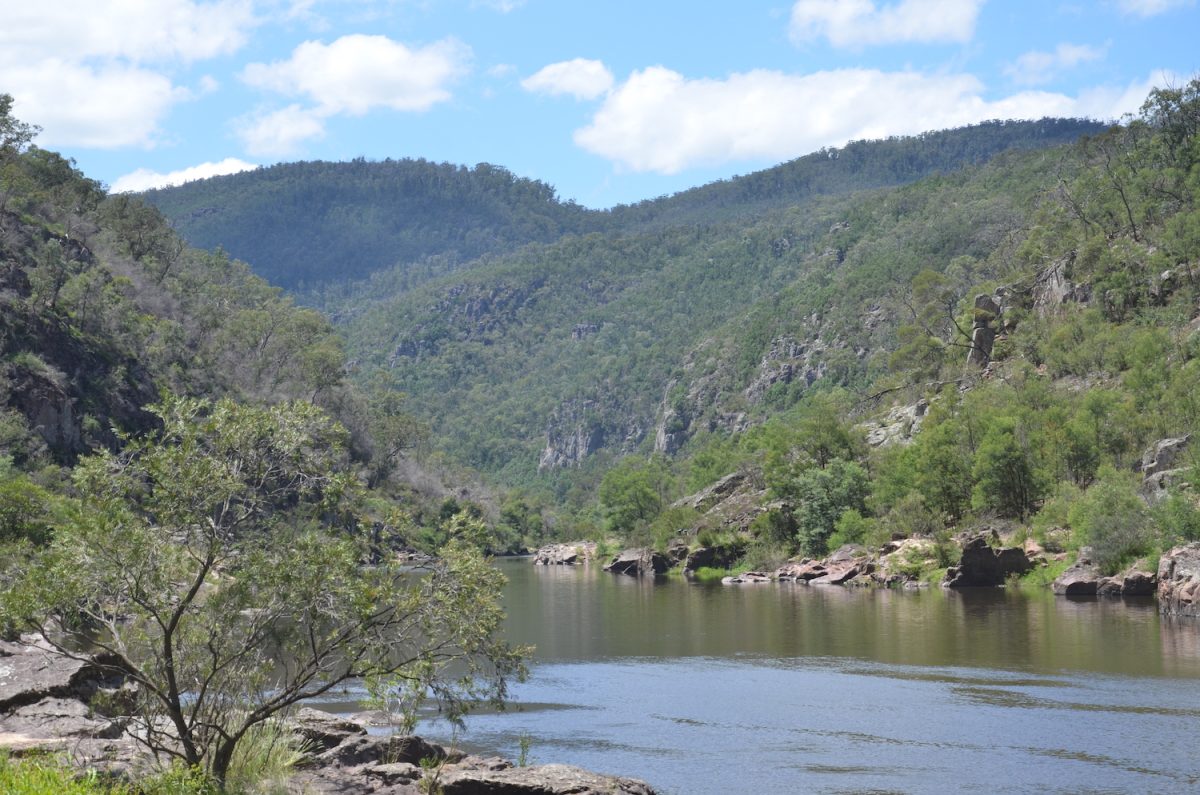
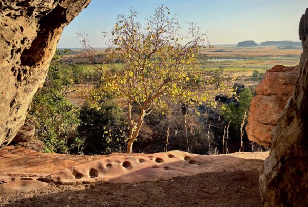
Looking upriver along the Snowy River valley from the entrance of New Guinea II Cave. Photo: Bruno David/courtesy of the GunaiKurnai Land and Waters Aboriginal Corporation. Supplied by Bruno David.
New Guinea II Cave and its landscape are of great importance to the GunaiKurnai Traditional Owners. It is to be cared for as a special place of the Old Ancestors. The recordings of the cave and of the “finger flutings” will help manage future research of the cave and public education for decades to come. The project is part of GKLaWAC’s emphasis on partnership research undertaken in culturally appropriate ways, towards caring for Country.
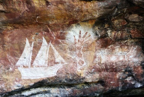
New Guinea II Cave is richly decorated with hundreds of finger flutings: in the past, the Old Ancestors had run their fingers across the highly weathered, soft crystalline rock surface that forms the outer layer of many of the limestone ceilings and walls, leaving their finger marks preserved. Finger flutings are a rare kind of rock art in Australia, mostly found in South Australia where such markings have been dated to more than 20,000 years ago.
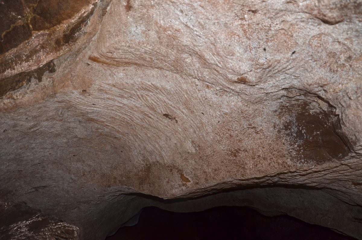
Finger flutings made by the Old Ancestors running their fingers into the soft rock surface of New Guinea II Cave thousands of years ago. Photo: Bruno David/courtesy of the GunaiKurnai Land and Waters Aboriginal Corporation.
The fieldwork was a complex logistical feat, with five scientific teams working concurrently on their various specialist studies of the cave.
Professor Jean-Jacques Delannoy (Université Savoie Mont Blanc, France) undertook detailed mapping of the cave’s floors, walls and ceilings to determine how the cave formed over time. Dr Helen Green (The University of Melbourne) is doing Uranium-Thorium dating of some of the speleothems (stalactites, stalagmites and other cave formations) and researching past climates using the oxygen and carbon isotopes trapped in the accumulated mineral layers in stalagmites. Yago Delannoy (Director of BlendArch3D, France) used terrestrial LiDAR scanning technology and photogrammetry to create a high-resolution 3D model of the cave. Approximately 1 billion laser points were obtained, and some 10,000 high-resolution photos were used to create a photogrammetric model that drapes over the geometrically accurate LiDAR framework. The photogrammetry adds the cave surfaces’ textures on the final 3D model.
At yet a still finer scale of 3D mapping, Dr Olivia Rivero Vilá (Universidad de Salamanca, Spain) and Dr Diego Garate Maidagan (Universidad de Cantabria, Spain) used a kind of micro-photogrammetric mapping developed to map the subtle undulations of the finger markings such as those that occur on the art panels in New Guinea II Cave. Using a network of flashes and angled lights, the rock art recording team took 2600 overlapping photographs to create a very high spatial resolution model of the art panels.
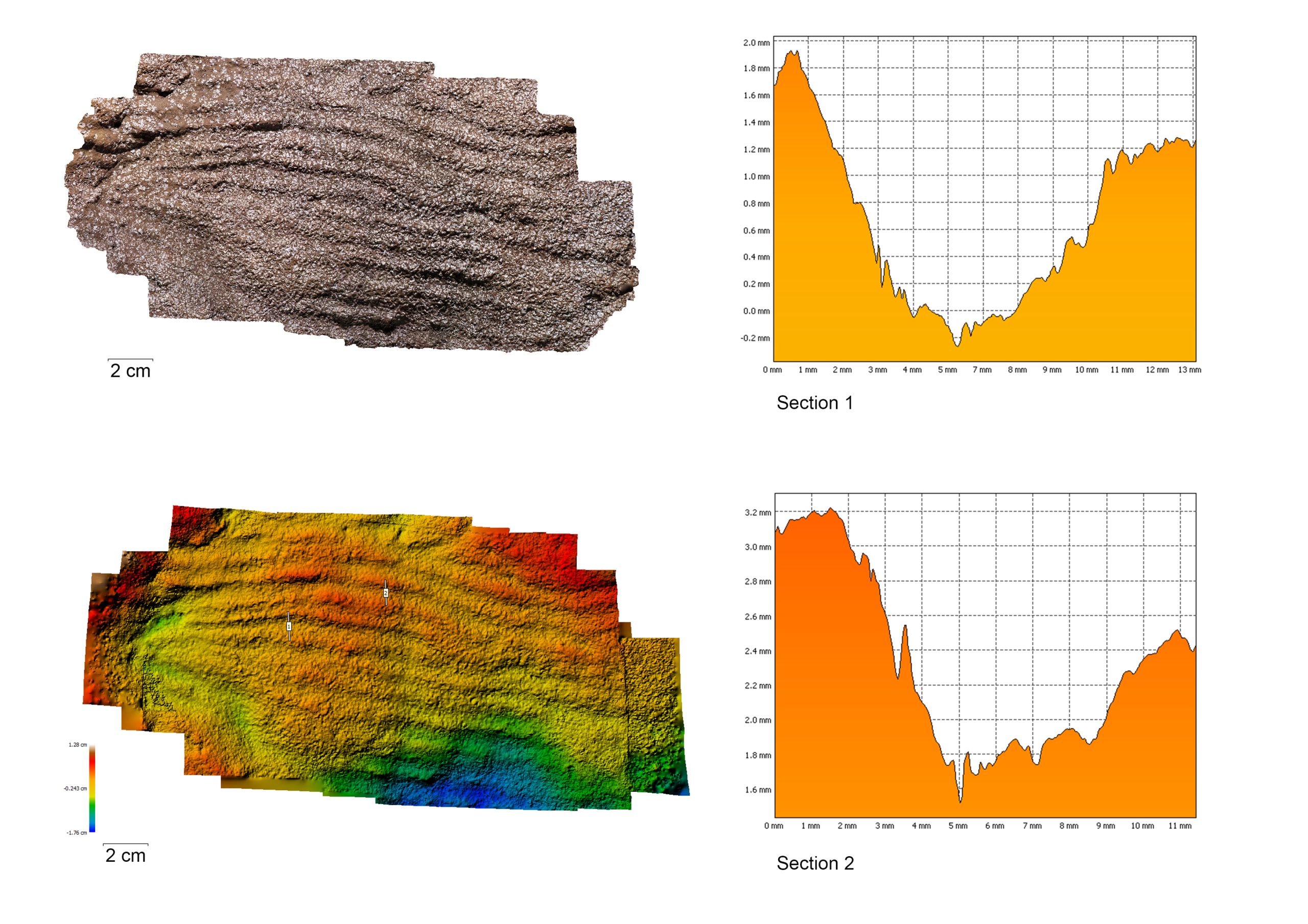
Photogrammetric model of a small section of finger flutings from New Guinea II Cave. The bottom-left image colour-codes the curvature of the photographed area (like a contour map): the red marks the highest areas, the blue the lowest on that rock surface. The two graphs on the right-hand side are cross-sections across two of the finger grooves (represented by the two short vertical lines on the bottom-left image). The graphs show the widths and depths of the two finger grooves. Image: Olivia Rivero Vilá and Diego Garate Maidagan/courtesy of the GunaiKurnai Land and Waters Aboriginal Corporation.
The next step for the researchers is to create an interactive digital model of the cave, to enable the GunaiKurnai and broader community to digitally visit this fragile cave, and to serve as an educational, research and conservation tool for current and future generations. The recordings will also serve as a crucial foundational archive for archaeological excavations planned to commence in 2024. The aims of those excavations will be to date both fallen fragments of finger flutings, and the cultural and environmental contexts of their making and of the cave’s occupation.
Rock Art Australia (RAA) helped fund the fieldwork together with the Traditional Owner Land Management Board, and the Australian Research Council Centre of Excellence for Australian Biodiversity and Heritage (CABAH).
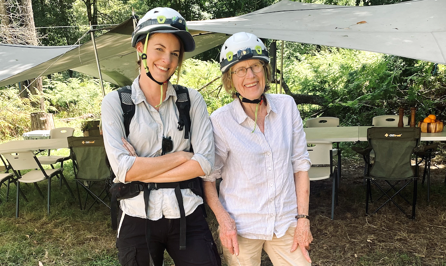
The team had a wonderful “show-and-tell” day with Malcolm and Dylan Siely from the GKLaWAC Registered Aboriginal Party crew, RAA director Maria Myers, and a delegation of Monash University staff during their visit to the cave and Snowy River environment.