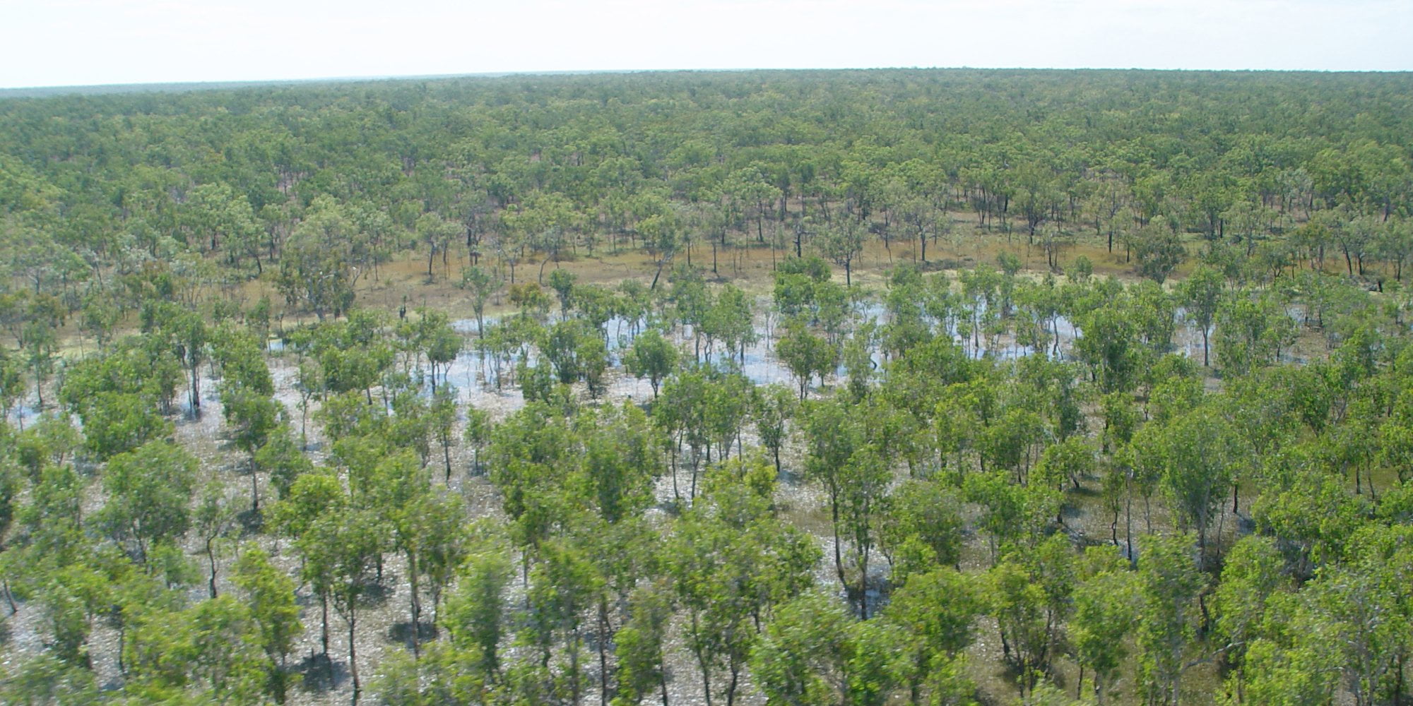
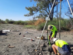
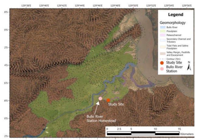
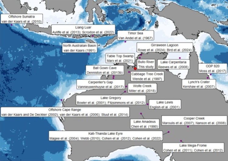
The project’s first planning workshop was held at The University of Queensland in May 2019, with fieldwork commencing in 2021. Since then, the team has completed two field campaigns, collecting an array of cores from multiple environmental archives, including rainforest patches, floodplains and billabongs across the Kimberley.
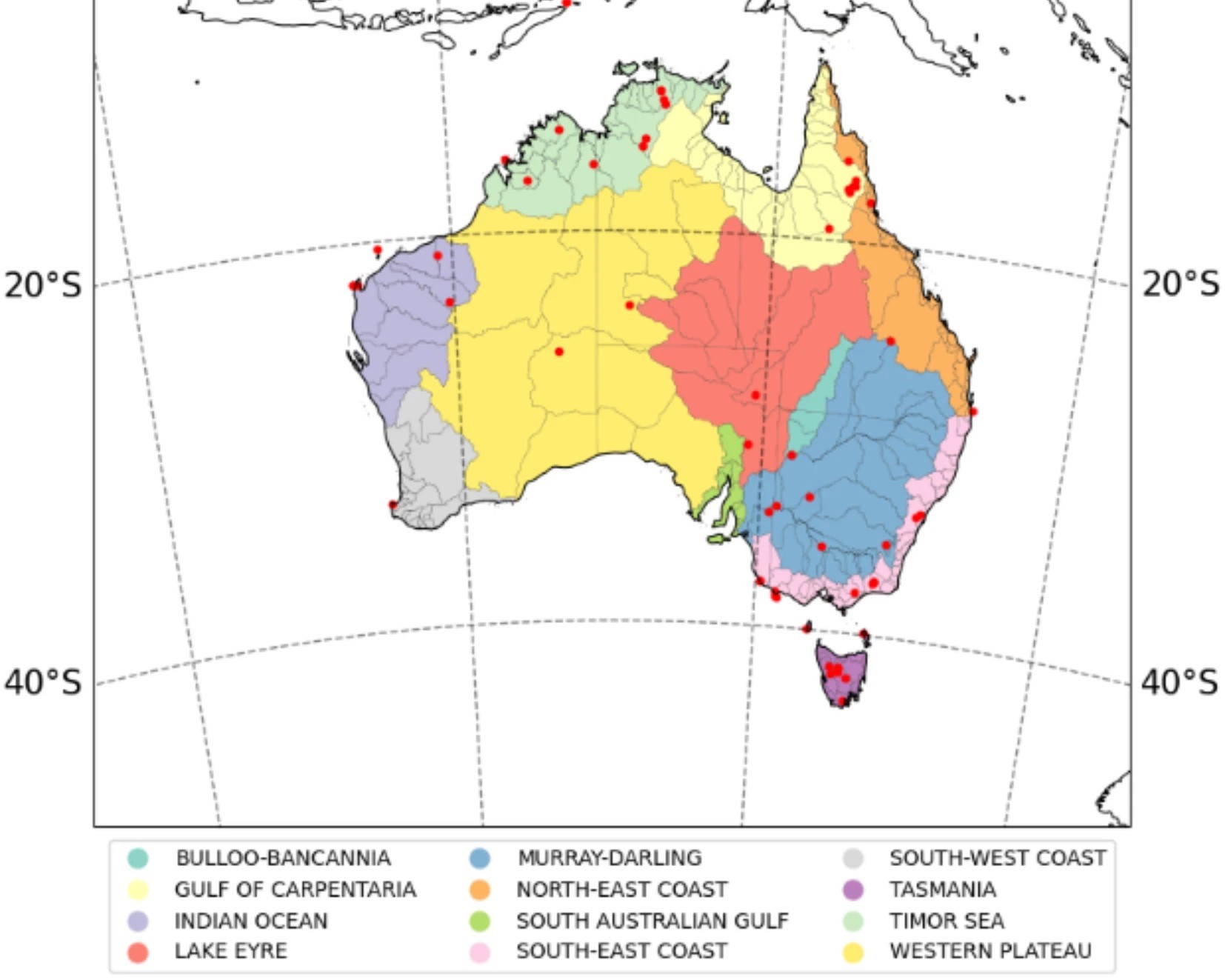
Chronological analysis showed that some of these cores extend back to the time of initial human occupation of the Australian continent (~65 thousand years old). Analyses of their composition has yielded new insights into environmental and climatic change in the Kimberley over the course of the region’s human history. The records come from the northeast, southeast and west Kimberley, substantially improving regional coverage and filling critical gaps in our understanding of past environments.
These findings have been published in peer-reviewed journal articles listed at the bottom of this page, and their key outcomes are synthesised in the forthcoming e-atlas of the Kimberley. The e-atlas will make these data and interpretations easily available for Traditional Owners, leaseholders, and the general public.
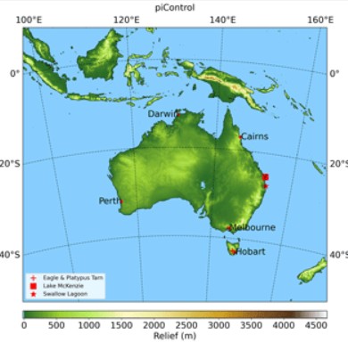
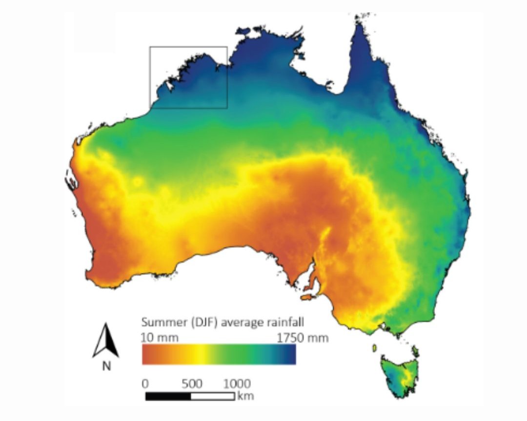
In parallel with the development of these records, a companion modelling project has produced high resolution (50 km2) simulations of temperature and precipitation across the Kimberley. These simulations focus on key intervals since human arrival, including 21, 12 and 6 thousand years ago, providing a valuable climatic framework for interpreting the sedimentary records.
An international search was held for the project’s Postdoctoral Fellow. The project was awarded a fully funded PhD scholarship by The University of Queensland to support a 3.5 yr PhD study to model the palaeoclimate of the Kimberley.