Cockburn Ranges: Geological Islands of Rock Art Style

Tracking East Kimberley Gwion Gwion, Wanjina, and other recent rock art in the Cockburn Ranges

This project builds upon an initial survey undertaken in the Cockburn Ranges as part of the 2021 Kimberley Visions research. 

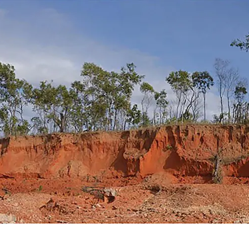
The project will document rock art and associated archaeological sites across Balanggarra country in the Cockburn Ranges – a significantly under-studied ‘geological island’. The project team is led by Dr Sam Harper (UWA) with Prof. Joakim Goldhahn (Rock Art Australia Kimberley Chair, UWA) and Prof. Rachel Popelka-Filcoff (Rock Art Australia Minderoo Chair, UoM).

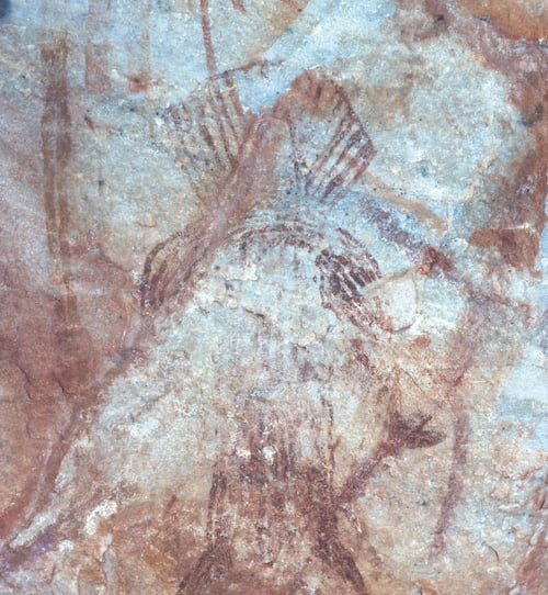
A preliminary survey in 2021 identified six unregistered rock art sites with multiple styles. This includes potentially the easternmost expansion of both Gwion Gwion and Wanjina. Style and composition will be explored from both archaeological and scientific approaches, including mapping, pXRF and colour analysis to understand trends across time.Browse our partner-sponsored Glasses, with a variety of options to suit every taste and budget, available to buy online

The ranges are becoming a National Park to be jointly managed by DBCA and Balanggarra Aboriginal Corporation (BAC).  The documentation, analysis, and mapping of significant cultural sites has been identified as important by the Traditional Owners and managers, and Rock Art Australia is pleased to be partnering the University of WA and BAC in funding the research.

Investigating some of the world’s most complex figurative rock art

Rock Art Styles Provinces of Northern Australia (2016-2022).  ARC LP150100490

Kimberley Visions is a 5-year multidisciplinary and collaborative archaeological project investigating 50,000 years of human life through the many rock art traditions of the East Kimberley.

Fieldwork

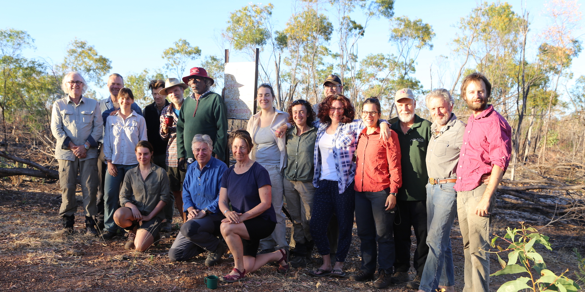
In 2021 we conducted our 5th and final field season

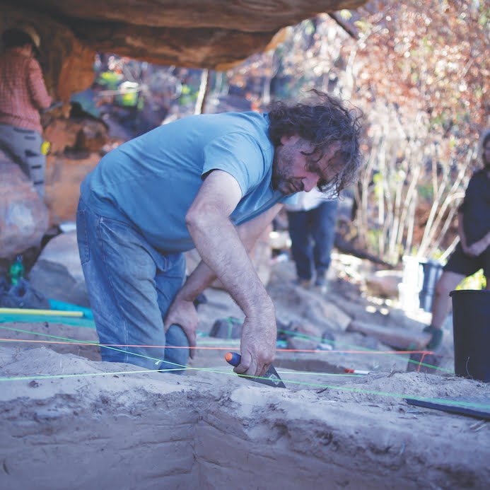
Working with Balanggarra Aboriginal Corporation, Rangers, and partners the fieldwork has yielded the location and recording of 1350 sites covering rock painting, engravings, marking, stone quarries, occupation sites, burials, stone arrangements, standing stones, cached material culture and ochre sources, and over 600 on-Country days for Traditional Owners. The sites are from the Drysdale, King George and Forrest River catchments with additional research areas along the coast and in the south in the Pentecost Ranges.

Sites are recorded on bespoke recording forms generating a database of over 100,000 images, spatial data, and FileMaker site cards held under license from the Kimberley Land Council and Balanggarra Aboriginal Corporation.

In their final year the team recorded a variety of rock art and other heritage sites including a notable and rare engraving site. The project produced nine peer-reviewed papers, conducted four weeks of fieldwork, and a week of community outreach, presented over 20 papers at conferences and outreach events, enabled 54 on-Country days for Traditional Owners and Rangers, supported five PhD and 1 Honours project with panel-wide assistance to one PhD completion, and was active in media and outreach spaces. All PhD (and one Honours) projects are reaching completion. Co-ordinating six UWA volunteers on six site-excavations will allow at least a further 9 peer-reviewed articles to be published. Project findings have been integrated into the UWA undergraduate syllabus and nationally.

A pilot study with the Kimberley Land Council on ‘Fire and Cultural Heritage’ was completed by Mariangela Lanza (awarded an Australian Archaeological Association Student Research Grant). The first cultural heritage fieldtrip and audit of the jointly-managed North Kimberley Marine Park (DBCA and BAC was undertaken in June. The team also co-developed the ‘LARA’ (Looking After Rock Art’) app with KLC and BAC and trialled in the field twice with BAC and KLC personnel to good reviews by Rangers and oversight by KLC personnel.

Negotiations have commenced for handing data to Balanggarra Aboriginal Corporation, including analysis and research outputs and post-project access and use of data. A Kimberley Visions monograph, under contract to Sydney University Press, will be published in 2022/023.

Engagement

A strength of the project has been the work undertaken in the Aboriginal community. The 2021 work in the south of the BAC determination, the team serviced  heritage requests of all four BAC Land Groups. They spent a week in Wyndham giving multiple classes to both St Joseph’s Primary and Wyndham District High School, and participated in a Community Day in Wyndham in June. Project PhD students Anapaula Motta, Emily Grey and Mariangela Lanza ran these activities. Free copies of the Australian Archaeological Association’s ‘Skills Passport’ were given to Junior Rangers, Rangers DBCA personnel (25 copies distributed) to  formally recognise conceptual and practical skills against a national benchmark.

The relatively short (4 week) fieldwork window (due to Covid-19) resulted in 54 on-Country days for Rangers and Traditional Owners; and over 6 years of the  project 650 days have been achieved, a KPI valued by the KLC.

Community Fieldwork Posters 2021

COASTAL SURVEYWYNDHAMHOME VALLEY & COCKBURN RANGES

Research Outputs

Nine peer-reviewed articles were published. This covered work on the peopling of Australia, role of style in rock art, landscape and site evolution, contact cache, a new Kimberley rock art style, identity and rock art, heritage management and a response to Walsh’s discontinuity hypothesis. Kimberley’s oldest dated occupation sites, introduced a new rock art style, and applied archaeomorphology. The research team currently have  six papers in press or in preparation plus a  monograph under contract with Sydney University Press.

RESEARCH PUBLICATIONS

The Kimberley Visions Team

Kimberley Visions is an Australian Research Council Linkage Project led by the University of Western Australia’s Centre for Rock Art Research + Management. Rock Art Australia is the primary funder. Partners include Balanggarra Aboriginal Corporation and Rangers, Dunkeld Pastoral Company and the Western Australian Department of Biodiversity, Conservation and Attractions – all providing essential logistical support.

Tertiary partners are Monash University, the University of Melbourne, and (France) represented by Bruno David (Monash), Jean-Jacques Delannoy (Université Savoie Mont Blanc, France), Andy Gleadow (Melbourne), Sven Ouzman (UWA, Project CI 2018-present), Martin Porr (UWA), Peter Veth (UWA, Project CI 2016-2018), and Leslie Zubieta-Calvert (Barcelona), with Sam Harper as Research Fellow and Project Manager (Lucia Clayton-Martinez in 2019). The project collaborates closely with Traditional Owners including Ambrose Chaliramieri, Augustine Unhango, Scotty Unhango, Bernadette Waina, Ian Waina, Rowan Waina, Adrian French, Gareth Karadada, Michael Mangalomara – with thanks to Traudl Tan. The project also works closely with the Rock Art Dating team to share knowledge and resources.

Postgraduates

Kimberley Visions is helping train the next generation of archaeologists and the four PhD students are a key part of the team.

Marine Benoit’s stone tool analysis PhD will be submitted end 2020/early 2021. Mariangela Lanza (GIS and human mobility) and Ana Paula Motta (rock art and identity) will submit in 2021 and 2022; Emily Grey (plants in Kimberley rock art) has 2+ years to go. Affiliated PhD candidate Madeleine Kelly is analysing Wardaman rock art, which will provide an invaluable dataset for comparative work between the Kimberley and Victoria River District (NT). Kim Genuite, whose PhD in France used the work he undertook on Kimberley Visions work was awarded with flying colours.

YOU CAN MAKE A DIFFERENCE!

DONATE NOW
One of the earliest dated sites for human occupation in the Kimberley. >
Kimberley Stout Figures. >
Dating painting events through by-products of ochre processing: Borologa 1 Rockshelter, Kimberley, Australia. >